
Egg Harbor Township Neighbors by Block
The public record around an Egg Harbor Township address is best read as a block context. Parcel geometry identifies nearby land. The assessment roll supplies an owner and tax fields. The land index identifies a transfer and legal description. Voter and directory sources can offer separately dated civic or historical clues. None of those sources proves a complete group of people at a given address.
| Block source | What it shows about nearby parcels | Access |
|---|---|---|
| ACOGIS parcel and tax features | Parcel shapes, road context, block or lot, map layers, and selectable adjoining polygons. | County GIS resources; maps are not survey-grade. |
| Atlantic County tax-map archive | Egg Harbor Township key, index, and sheet relationships for lots and blocks. | Public archive by municipality and sheet; county GIS fallback. |
| Assessment search | Assessed owner, situs and mailing address, class, assessment, and sales data. | County property description and EHT Assessor support. |
| County deed index | Transfer parties, dates, legal descriptions, and copy locators for each parcel. | Free index and available images, then Clerk counter or copy request. |
| Voter and directory sources | Dated registration context or reverse-directory subscriber clues. | Lawful election route or ACFPL Heston print collections. |
For each Egg Harbor Township neighbor parcel, preserve the address exactly as returned, the block and lot, source date, and record role. A shared surname, mailing destination, or street does not prove a shared household.
Map an Egg Harbor Township Neighbor Block
Use a short, parcel-first flow to look at the immediate Egg Harbor Township block. ACOGIS supports map and table work, but its exact live click sequence and any buffer control were not verified. The documented method is to browse, select the subject parcel, and click adjacent polygons one at a time. This avoids promising a radius result the official source did not document.
- Find the subject situs in the Atlantic County GIS resources and display parcel or tax features with road labels.
- Select the subject parcel, then click polygons that share a boundary or face the same street segment. Record each visible block or lot as a separate item.
- Open the Atlantic County tax-map archive, choose Egg Harbor Township, and use the key and matching sheet to check the lot relationship.
- Search each parcel independently in the property records and use the deed index only after checking municipality and legal description.
The result is a geographic list of parcels, not a roster of neighbors. For the full chain along a named road, use the Egg Harbor Township street directory rather than extending a block search beyond the records it can support.
Egg Harbor Township Neighbor Parcel View
ACOGIS is the map layer for Egg Harbor Township neighbors. Its county page links an interactive web-map environment, data downloads, static maps, tax maps, and related parcel resources. The local ArcGIS item is titled Egg Harbor Township Tax Features. Select a parcel for map context, then return to the tax record for the owner and assessment fields. Map geometry alone cannot decide title or a legal boundary.
The Egg Harbor Township tax-features ArcGIS item is the source for this neighbor-parcel image.
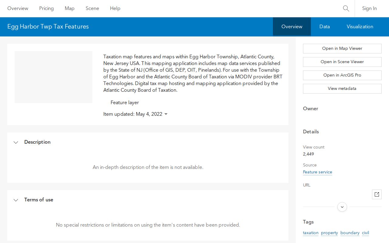
Read the image as a way to select and compare parcels around a block. ACOGIS states that its demonstration or secondary mapping is not verified to National Map Accuracy Standards or NJDEP standards, so a survey question needs the appropriate professional record instead.
Egg Harbor Township Neighbors and Owners
The Atlantic County Board of Taxation describes owner names, addresses, block and lot, assessments, and sales data in its property-search material. The Egg Harbor Township Assessor’s office, (609) 926-4083, maintains local public property-record context. The useful nearby-parcel fields are owner name, situs, mailing address, municipality, block, lot, property class, assessment, sales date or price when available, and tax year.
Keep the situs and mailing address apart. The situs is the parcel location. The mailing field is a destination for tax correspondence and may point to an estate, trust, entity, lender, relative, or stale address. An assessed owner is therefore a property role, not a statement about who is currently present on the block.
- Adjacent parcel
- A tax-map parcel sharing a boundary or the same street segment with the subject parcel.
- Situs
- The physical location assigned to the parcel.
- Mailing address
- The tax-correspondence destination, which can differ from the situs.
- Legal description
- The recorded block, lot, subdivision, or other land description that identifies the property in a deed.
Egg Harbor Township Neighbor Deed Locators
Use the Atlantic County Official Records Search one parcel at a time. Search a current assessed owner as grantee and compare the returned municipality and legal description. The index can document grantor and grantee, document type, recording date, book and page, instrument number, and image availability where scanned. It can also contain mortgages, liens, releases, trusts, estates, and corrections, so a named party requires context.
Written copy requests use different preferred locators around March 1, 2000: book and page before that date, instrument number afterward. The Clerk’s historic notices describe images beginning in March 2000 with older imaging added progressively. Call the County Clerk at (609) 625-4011 or visit the Mays Landing records location when an older image or certified copy is needed.
Egg Harbor Township Neighbors Voter Limits
New Jersey law describes the public registry as arranged by street residence number and name, with field access and use restrictions. That makes an election record a possible, dated Egg Harbor Township neighbor clue, not a one-click all-neighbors list. The direct state registration lookup returned HTTP 403 during inspection. Its live form fields, required entries, and full result behavior were not available to confirm.
The New Jersey voter-registration lookup is the source for this access image.
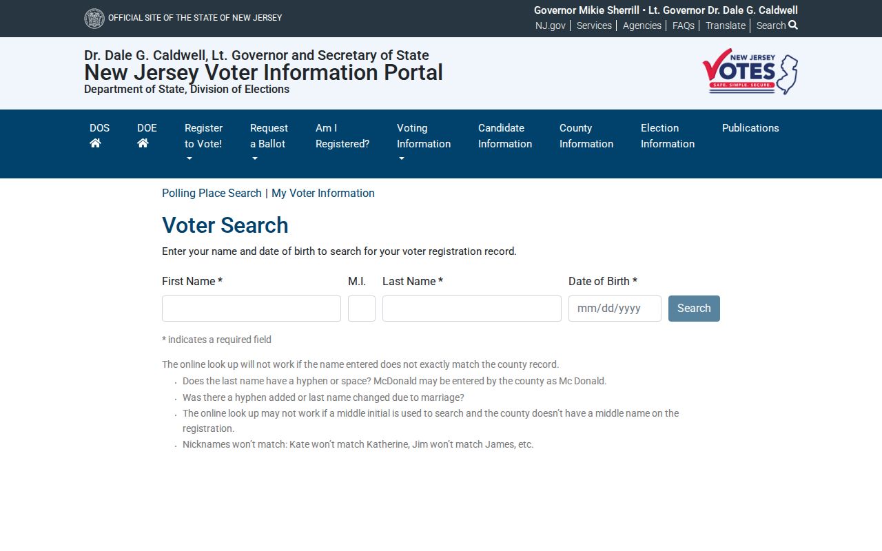
When that tool is unavailable, contact the Atlantic County Superintendent of Elections at (609) 645-5882 for the current lawful request route and protected-voter handling. The EHT Clerk is the local election administrator for municipal questions. Signatures, identifying numbers, and protected details are not ordinary public lookup fields.
Note: A protected, inactive, or unavailable voter result does not establish that an Egg Harbor Township neighbor was absent from a parcel.
Egg Harbor Township Neighbor Contact Paths
No official Egg Harbor Township-wide association or HOA directory was located in the research. That gap matters. Do not invent an association name from a property listing or treat a private group roster as public. The public route is to ask an appropriate office, library, or organization for a meeting, public contact, or published notice connected to a named subdivision or civic group.
| Public contact path | Appropriate question | What it does not provide |
|---|---|---|
| Egg Harbor Township Clerk | Whether a municipal record, meeting notice, election district map, or public request route applies. | A private membership roster or a complete block list. |
| ACLS Resource Center | Whether local-government collections, newspapers, census material, or history resources mention a locality. | A current association directory or proof of present occupancy. |
| ACFPL Heston collection | Whether a Marc or telephone directory edition covers the historic address. | A modern verified neighbor roster. |
| Named organization’s own public contact | Whether it publishes a meeting or officer contact for a public purpose. | Permission to disclose private member information. |
Public community contacts can help with reunions, local history, or a meeting question. They should never be used to expose a protected address or infer that someone occupies a parcel.
Egg Harbor Township Neighbors Source Check
Official records and commercial neighbor tools are different categories. An official source has a named custodian, an access rule, and a defined field purpose. A commercial result may be convenient, but it can blend dates and roles that do not belong together. Use the official parcel, deed, election, and library paths to confirm material information.
| Official local records | Commercial neighbor tools |
|---|---|
| Identify the custodian, date, source field, and access limit for each item. | May combine stale or mismatched material without showing the original record context. |
| Parcel and deed records distinguish land roles from address clues. | Can make a name, address, or family connection appear more certain than the source supports. |
| Allow a correction or copy request through the responsible office. | Use their own correction or suppression process, while government records remain separate. |
Egg Harbor Township Block Record Story
A June 2026 Atlantic County sheriff-sale notice showed the shape of a local public-record trail: an Egg Harbor Township street address, tax block 2812 and lot 7, plus a Superior Court docket. It was a dated property and court notice, not a neighbor roster. The example is useful because it shows why an address, parcel identifier, and docket should be copied as separate locators rather than collapsed into a claim about people nearby.
In an Egg Harbor Township neighbor search, that same discipline prevents errors. Start with the map, check the tax map, verify the parcel in assessment data, then inspect a deed or court record only for the question it can answer. A public notice can connect systems without identifying every person tied to the block.
Privacy for Egg Harbor Township Neighbors
Egg Harbor Township neighbors cannot be identified from a complete public household register because no such official block list was located. Parcel records, voter materials, and historical directories each omit people or limit fields. Utility accounts, delivery data, DMV information, full identifiers, and private organization rosters are not public neighbor records.
New Jersey’s Address Confidentiality Program and Daniel’s Law privacy resources can protect or redact addresses. A missing name can reflect a protected address, a record’s date, an access restriction, or a source that did not cover the person.
Lawful use. Use Egg Harbor Township neighbor records for personal, lawful research, local history, or civic context. Never use a parcel, address, or public record to stalk, harass, intimidate, or harm another person.