
Start an Egg Harbor Township Street Search
An Egg Harbor Township street search works best as a short chain, not as a claim that one roll names every household. Begin with the parcel situs, which is the physical location used by the assessment system. Then collect the block and lot, compare the map, and use the recorded-land index for a legal transfer. A voter record or an old reverse directory can supply a separately dated address lead. Each source answers a narrower question than the next.
- Search the Atlantic County Board of Taxation property search for the Egg Harbor Township situs address or owner. Copy the situs, mailing address, block, lot, assessment, sale data, and tax year.
- Open the ACOGIS parcel resources and identify the parcel on the street. Check adjacent shapes and the tax-map sheet before assuming a nearby lot is part of the same property.
- Search the current assessed owner in the Atlantic County Official Records Search as a grantee. Match the municipality and legal description, not merely a similar address.
- For a civic-registration lead, use the state Am I Registered? lookup when available, or ask the Atlantic County Superintendent of Elections about the lawful request route. The direct lookup returned a 403 during research, so its live fields are not promised here.
- For a prior address clue, ask the ACFPL Heston Room for a Marc cross-reference volume or an Egg Harbor-area telephone directory. The historical shelf is described more fully in the Egg Harbor Township city directory.
Keep owner, grantee, registrant, and subscriber as separate roles in the notes. A match can be useful without proving that every person connected to one record shared the same address.
Egg Harbor Township Street Directory Fields
The county describes its assessment data as including owners, addresses, block and lot, assessments, and sales data. Egg Harbor Township’s Assessor maintains public property-record context for current assessments and related property work. The dynamic county form was not stable enough to document a complete live dropdown list, so the table separates verified field families from controls that were not confirmed.
| Assessment field | Form or result type | Use in an address search | Verified limitation |
|---|---|---|---|
| Owner name | Optional text search | Tests a name or entity against Egg Harbor Township parcels. | Try spelling variants and do not treat the result as an occupant list. |
| Property or situs address | Optional text search | Finds the physical parcel location by street and number. | Exact portal syntax was not captured. |
| Municipality, block, and lot | Selector and text fields | Anchors the correct Egg Harbor Township parcel. | Qualifier options were not confirmed in the static source. |
| Mailing address | Result field | Provides a separate tax-correspondence lead. | It is not proof of physical presence at the situs. |
| Assessment, class, sale data | Result and possible filter fields | Dates and distinguishes property records. | Exact labels and live result limits were not captured. |
The Egg Harbor Township Assessor can answer local property-record questions at (609) 926-4083. A parcel result establishes an assessment record for a stated tax year. It does not establish present-day residence.
Egg Harbor Township Street Roll Numbers
As of January 1, 2026, the Assessor listed 20,595 total properties and 18,967 taxable properties in Egg Harbor Township. The same page listed 15,257 residential properties, 991 commercial properties, and 2,670 vacant-land properties. Those figures explain why a single broad street-directory result needs a parcel check: the roll is large, and a name or road label can point to more than one record.
Use the numbers as scale, not as a count of people. They measure property categories and do not reveal how many people occupy an address, whether a mailing destination is local, or whether a historical directory caught every subscriber.
Note: Assessment totals describe taxable property records and should not be converted into a count of Egg Harbor Township residents.
Map Egg Harbor Township Street Parcels
ACOGIS makes the map portion of a street directory practical. Zoom to the street, turn on parcel or tax-feature context and road labels, then select the subject parcel. The county resource page describes maps and a data-table approach, while the Egg Harbor Township tax-features item provides a local parcel layer. The exact live search box and popup columns were not captured, so use the map to select a parcel rather than expect a fixed set of buttons.
The Egg Harbor Township tax-features ArcGIS item is the source for this parcel-view image.
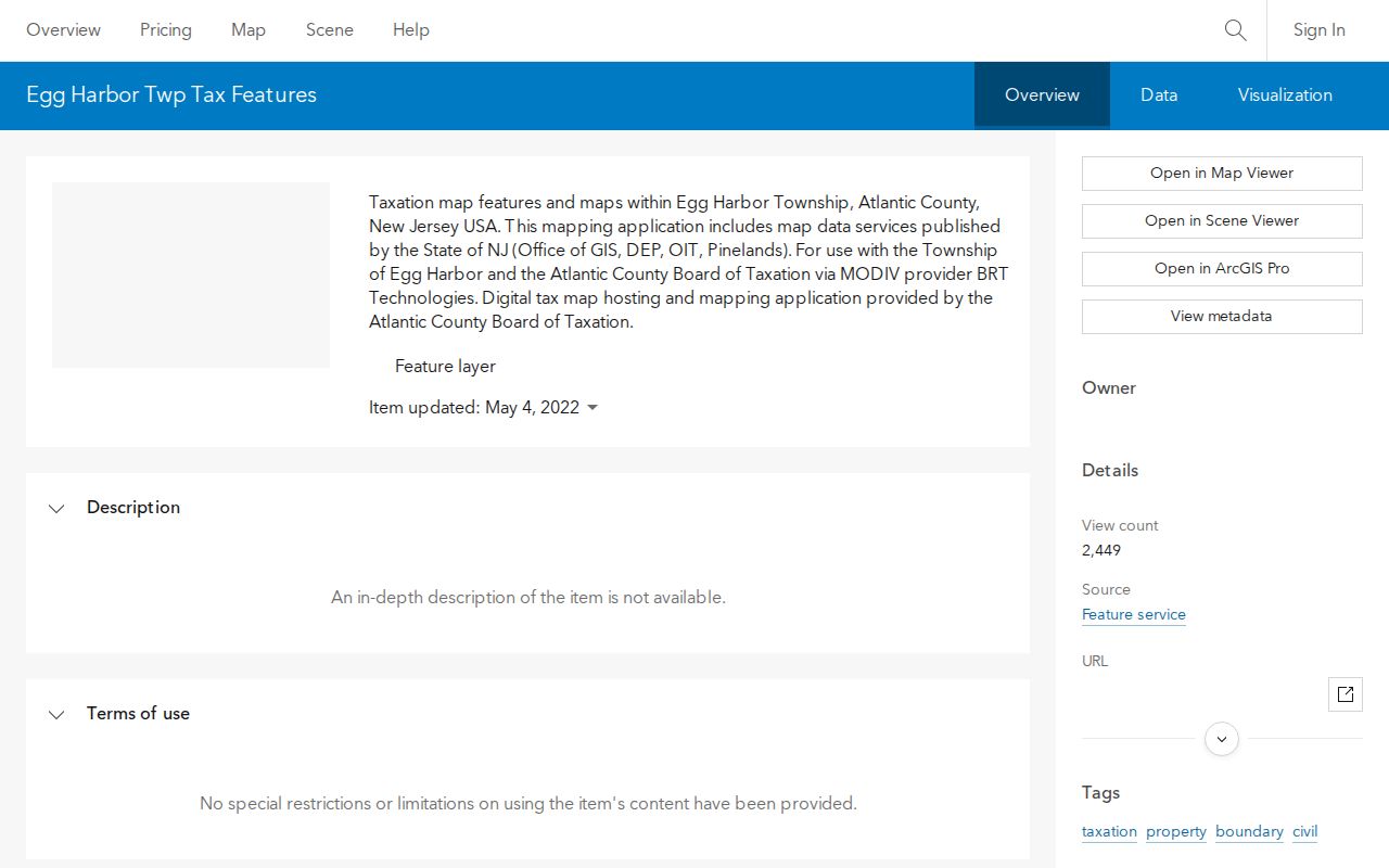
Use the selected polygon, road label, and block or lot to connect a mapped location back to the assessment and tax-map records. ACOGIS describes its map products as demonstration or secondary mapping, not survey-grade boundary evidence.
For a paper-style check, open the Atlantic County tax-map archive, select Egg Harbor Township, and then use the key or index to choose the matching sheet. This helps separate a rear lot, road strip, qualified lot, or a parcel near a municipal line.
Egg Harbor Township Street Address Roles
A street directory needs two address columns in the researcher’s notes. The situs address is the physical parcel location. The mailing address is where tax correspondence is sent. They may match, but the research does not let a reader turn that coincidence into proof that the tax owner lives there. A trust, estate, business, lender, family arrangement, or stale record can produce a different mailing address.
Record the municipality, block, lot, and any qualifier beside both addresses. If a historic source uses a village rather than a modern street label, test Bargaintown, English Creek, Scullville, Steelmanville, McKee City, Cardiff, Farmington, and West Atlantic City with the road name. Egg Harbor Township’s older records can use those localities or even a neighboring municipality after historic boundary changes.
- Parcel
- A mapped unit of land used by tax and GIS systems.
- Situs address
- The physical address associated with a parcel.
- Legal description
- The recorded land description, such as block, lot, subdivision, or metes and bounds, that must be checked with a deed.
- Criss-cross directory
- A reverse directory that can connect a dated street address to a listed subscriber or resident name.
Trace Egg Harbor Township Street Deeds
The Clerk’s index adds the legal-transfer layer to an Egg Harbor Township street directory. Search a likely current owner as grantee, restrict the result with the municipality and legal description, then read the grantor as the earlier transfer party. Grantor means the party conveying an interest; grantee means the party receiving it. A mortgage, release, estate, lender, or correction can appear in the same index, so a party name alone does not establish a move.
Atlantic County Official Records Search is the source for this deed-index image.
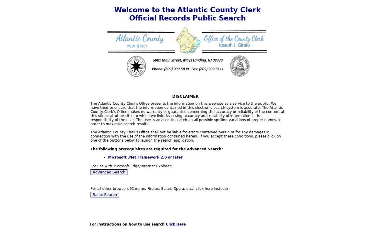
The index supports party names, grantor or grantee roles, document or instrument number, book and page, document type, date range, municipality, and property description. Where scanned images exist, the index can lead to a PDF. Compare the legal description to the parcel before accepting an apparent address match.
There is a useful locator break at March 1, 2000. The Clerk’s copy instructions prefer book and page for written requests before that date and an instrument number afterward. Historic notices describe deed and mortgage books from 2000 back to 1972, with online images beginning in March 2000 and older images added as scanning progresses. For a copy, call the Clerk at (609) 625-4011 or visit the Main Historic Courthouse Complex in Mays Landing; records-room copies and written-copy charges are described by the office.
Egg Harbor Township Street Permit Trail
Building activity can add dates to a street record without becoming an occupancy claim. The Egg Harbor Township Building Inspections office links applications, inspections, certificates of occupancy, flood-zone information, and the SDL permit portal. The session-sensitive Click2Gov search exposed application number, street number and name, city, township, section, subdivision, block, lot, range, and name-related fields during research.
A permit or certificate of occupancy may date construction, an alteration, or a completed change. An applicant can be different from the assessed owner, and the record does not prove who was physically present. When an online search does not return the needed history, the Building Inspections office at 3515 Bargaintown Road, (609) 926-4122, is the documented local fallback.
Egg Harbor Township Street Record Coverage
Several record families can be keyed to an Egg Harbor Township address. Their value comes from combining their different roles, not from treating them as a single directory of people. The table identifies the documented routes and the access channel to try when a web result is incomplete.
| Address record | What it can show | Custodian | Access route |
|---|---|---|---|
| Assessment and tax roll | Assessed owner, situs, mailing address, block, lot, assessment, and sales data. | Board of Taxation and EHT Assessor | Public property hub or Assessor phone. |
| Parcel and tax maps | Parcel geometry, road context, tax-map relationship, and layers. | ACOGIS and County tax-map archive | Map viewer, map sheet, GIS phone at (609) 645-5898. |
| Recorded land index | Grantor, grantee, document type, date, legal description, and locator. | Atlantic County Clerk | Free index, courthouse counter, phone, or written copy request. |
| Permits and inspections | Application, inspection, or certificate-of-occupancy events. | EHT Building Inspections | SDL or Click2Gov route, then office request. |
| Voter and historical directory clues | Dated registration context or a dated subscriber/address listing. | Election offices and ACFPL Heston Room | Lawful county request or library print collection. |
For a broad current street trail, use parcel and deed records first. For a specific individual who appears in an independent source, the Egg Harbor Township resident lookup has the person-focused verification path.
Egg Harbor Township Street Voter Trail
New Jersey’s public registry statute describes a street arrangement by residence number and name, with statutory fields and protected information handled separately. That can give an Egg Harbor Township street search a dated civic-registration clue, but it is not a household census. The direct state lookup was blocked with HTTP 403 during research, so the exact form labels, required fields, and result display should not be guessed.
The New Jersey voter-registration lookup is the source for this access image.
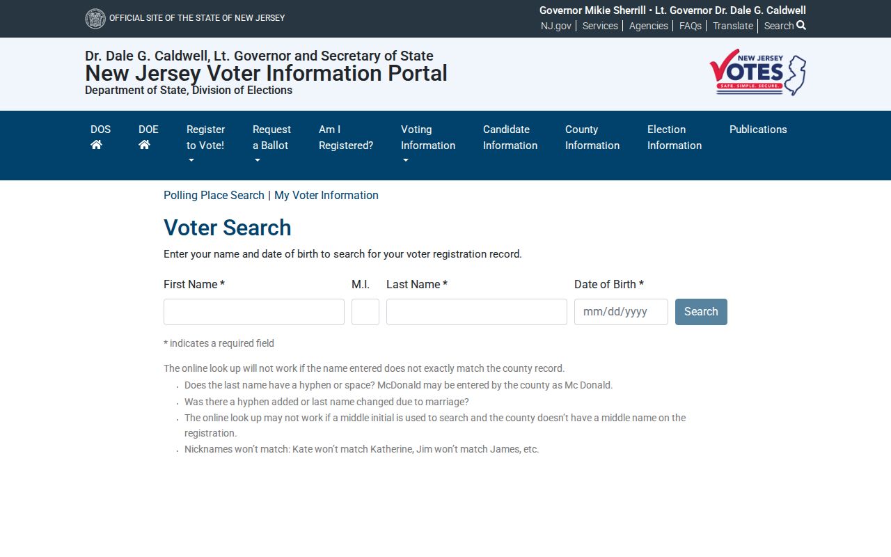
If the direct service remains unavailable, contact the Atlantic County Superintendent of Elections in Mays Landing at (609) 645-5882. The EHT Clerk can direct municipal election questions. Protected voters, address-confidentiality participants, and restricted fields can all create an incomplete result.
Note: A non-match in a voter record can reflect eligibility, timing, protection, or access rules rather than absence from an Egg Harbor Township address.
Egg Harbor Township Street Directory History
When the address trail moves into the past, the ACFPL Heston and Reference collections hold Marc cross-reference volumes for Atlantic County from 1983 through 2006-07 and 2008-09. They are reverse address-to-name and name-to-address tools, with edition scope that must be checked at the library. NJ Bell directories include documented Egg Harbor-area runs from 1973-1982, later 1986-87 material, 1997-2001, 2005, and 2008.
Ask the Help Desk for the edition, reel, or shelf year rather than assume a continuous annual run. A telephone subscriber or directory entry is a dated lead, not legal title or a complete household account. ACLS Resource Center in Mays Landing adds census microfilm, digitized South Jersey newspapers, and local-history support when a road appears under a village name.
Limits of Egg Harbor Township Street Records
No Egg Harbor Township street directory can show everyone connected with an address. Assessment files document an owner record. Deeds document recorded transactions. Maps show geographic context. Voter materials are subject to statutes and redactions, while directory volumes omit unlisted people and those outside an edition’s scope. DMV information, utility-customer records, delivery data, full identifiers, and protected addresses are not public street lists.
New Jersey’s Address Confidentiality Program and Daniel’s Law privacy resources can result in substitute addresses or redactions. A missing result is not proof that a person was never connected to a parcel.
Lawful use. Use Egg Harbor Township street records for personal, lawful research, property history, family history, or civic context. Never use an address trail to stalk, harass, intimidate, or harm another person.